

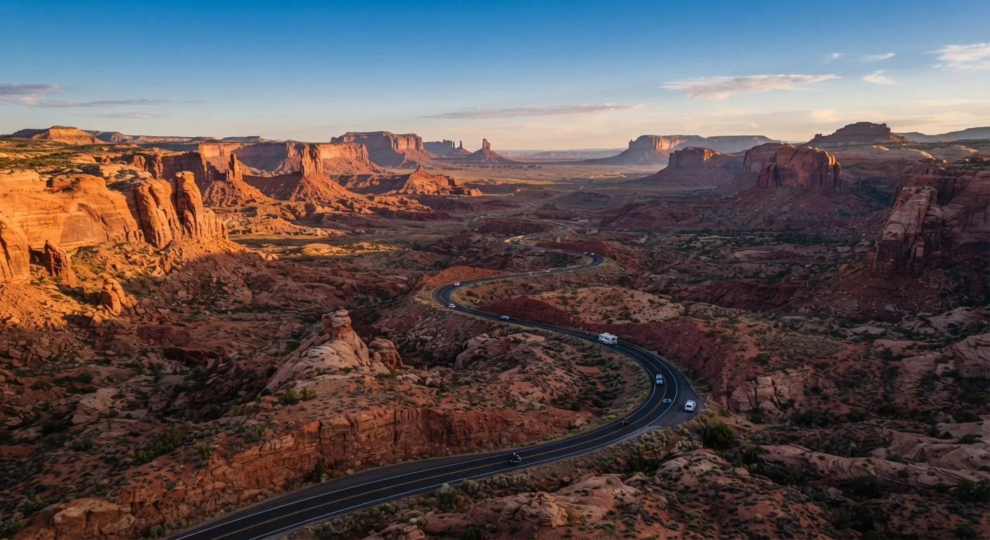
Why Distance and Terrain Demand Respect
The American Southwest looks approachable on a map — a handful of iconic parks arranged across four states. On the road, however, those inches translate to long stretches of high-desert highway where services disappear and temperatures spike. The region's core circuit — Las Vegas, Nevada to Zion, Bryce Canyon, Arches, the Grand Canyon's South Rim, and Monument Valley — covers roughly 900 to 1,100 miles depending on route. Factor in spur roads into parks, and actual driving can grow by another 20–30 percent.
Elevation is the variable most travelers underestimate. The Grand Canyon's South Rim sits at about 7,000 feet; Bryce Canyon's rim averages 8,000–9,000 feet; Phoenix bakes at under 1,100 feet. Moving between these zones in a single day means confronting both thin air and radiant desert heat. Pace your itinerary to respect that range. See our road safety handbook for driving strategies specific to high-heat and high-altitude conditions.
| Core loop mileage | 900–1,100 miles (Las Vegas to Monument Valley circuit) (Estimated via standard routing; varies by detours) |
| Grand Canyon South Rim elevation | ~7,000 feet (National Park Service) |
| Bryce Canyon rim elevation | 8,000–9,000 feet (National Park Service) |
| Peak summer temperatures (low elevations) | Up to 110–115°F in canyon floors and Phoenix basin (National Weather Service historical data) |
| Longest fuel gap on a common route | ~89 miles (Kanab to Page via US-89) (Routing estimate; verify current station availability) |
| Monsoon season | Mid-July through September (NOAA North American Monsoon data) |
Core Routes and Realistic Driving Times
Three corridors form the backbone of most Southwest loops:
- Las Vegas → Zion National Park: ~160 miles via UT-9; allow 2.5–3 hours including the mandatory shuttle transfer inside the park during peak season.
- Zion → Bryce Canyon: ~85 miles; 1.5–2 hours. The short distance masks a dramatic elevation climb and narrow, winding sections of UT-12.
- Bryce Canyon → Arches/Moab: ~230 miles; 3.5–4 hours via US-89 and US-191. This leg crosses open plateau — fuel up before leaving Bryce.
- Moab → Grand Canyon South Rim: ~370 miles; roughly 5.5 hours without stops. Most travelers split this overnight in Page or Kanab.
- Grand Canyon South Rim → Monument Valley: ~180 miles; 3–3.5 hours via US-89 and US-163, passing Navajo Nation land.
These are driving times only. Budget an additional 3–5 hours per major park for entry, parking, and walking even a single main trail. Overscheduling is the most common planning mistake — the same trap described in our Southeast Asia itinerary guide.
Seasonal Timing: Heat, Crowds, and Access
There is no universally perfect season, only trade-offs worth understanding.
Verify Entry Requirements Before You Travel
Timed-entry permit systems, reservation windows, and road closures at Southwest parks change from season to season. Always check the official National Park Service website (nps.gov) for the most current requirements before departure. Conditions on Navajo Nation land may carry additional entry protocols not reflected on federal park pages.
- Spring (March–May)
- Comfortable temperatures at elevation (50–70°F) and peak wildflower bloom in lower elevations. Crowds build sharply by late April; timed-entry reservations at Zion and the Grand Canyon typically open months in advance.
- Summer (June–August)
- Canyon floors and Phoenix-adjacent routes regularly exceed 110°F. High-elevation parks like Bryce remain cooler (60–80°F) but attract peak visitor volume. Afternoon monsoon storms are frequent from mid-July onward — lightning on exposed rim trails is a real hazard.
- Fall (September–October)
- Often considered the most balanced window. Heat eases, crowds thin after Labor Day, and aspen foliage appears at elevation. Some facilities reduce hours after mid-October.
- Winter (November–February)
- Bryce Canyon receives significant snowfall; hoodoos in snow are spectacular, but some overlook roads close. The Grand Canyon's South Rim stays open year-round, and crowds are dramatically lower. Confirm road conditions with the National Park Service before traveling.
For a fuller framework on building a trip budget that accounts for seasonal pricing shifts, see costs travelers forget to factor in.
Practical Logistics Before You Go
A few details separate a smooth Southwest road trip from a stressful one:
- Fuel gaps: Some stretches — especially between Kanab and Page (89 miles) and on US-163 near Monument Valley — have sparse stations. A half-tank rule is sensible standard practice.
- Park passes: The America the Beautiful annual pass covers entrance fees at all National Park Service sites on a standard Southwest loop and pays for itself within two or three park entries. Verify availability and pricing directly through the NPS website.
- Reservations and timed entry: Zion National Park requires advance shuttle reservations for Zion Canyon Scenic Drive access during peak months. Check current permit requirements on each park's official NPS page well before your trip date.
- Connectivity: Cell service is intermittent or absent in many canyon areas. Download offline maps before entering remote zones.
- Navajo Nation etiquette: Monument Valley and surrounding areas fall within Navajo Nation jurisdiction, which has its own entry rules, photography protocols, and sometimes separate permits. Respect posted guidelines and support local guides where offered.
For end-to-end trip planning — from setting an itinerary to managing on-the-road surprises — the complete trip planning framework is a useful companion to this reference.
The content on this site is for informational purposes only and is not a substitute for professional advice. Always consult a qualified professional for guidance specific to your situation.